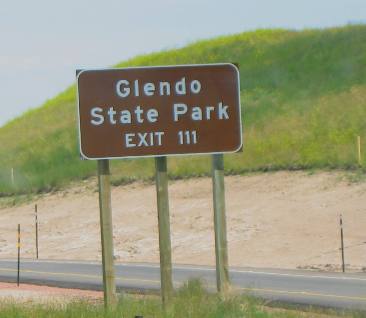
I-25 Around Glendo, WyomingGlendo State Park 100-miles north of Cheyenne on I-25
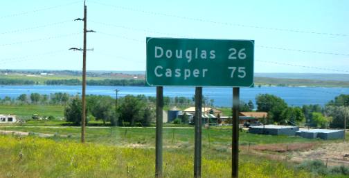
Glendo State Park is found in one of Wyoming's most historic areas. Spanish Diggings, suggesting a large area of aboriginal activity, lie just a few miles east of the reservoir. Rising out of the reservoir's east side at Sandy Beach is a series of sand dunes that reach from the Great Divide Basin and the Green River to the sand hills of Nebraska. Glendo State Park & Reservoir is about 26-miles south of Douglas, Wyoming on I-25
The Arapaho and Cheyenne Indians arrived in southeastern Wyoming and the North Platte River Basin in the 18th century. The Oglala and Brule Sioux arrived in the 1830s, moving into eastern Wyoming from South Dakota. Tipi rings and a variety of cultural artifacts can still be found at Glendo State Park and the surrounding area. Remember though, removing artifacts is unlawful. Although now mostly covered by water, two or more branches of the Oregon-Utah-California Trail went through the area. Upon close examination you can still see evidence of the historic trail. Fertile ground was an enticement to early farmers and ranchers. At one time some of the finest potatoes in northeastern Wyoming were grown here. Glendo Dam construction began in 1954. The dam was completed in 1957 and the power plant in 1958. The dam is an earth fill structure 2,096 feet long and 167 feet high.
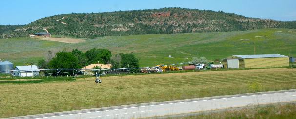
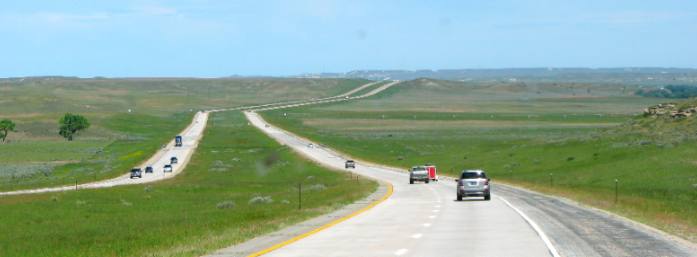
Typical scenery around Glendo, Wyoming on I-25
Irrigation is supplied by the nearby Glendo Reservoir on the North Platte River.
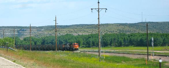
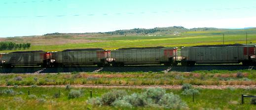
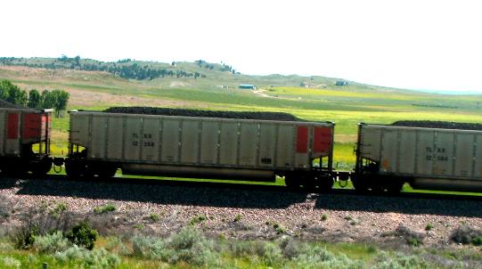
Coal trains heading south from the Powder River Coal mines north of here
Gillette, Wyoming and the countryside which surrounds it, may not
be a household word. However, as this nation converts to clean burning,
low sulfur coal as a major source of energy, this small part of the
United States will claim its importance as the “Energy Capital
of the World.” Travelers on I-25 around Glendo, Wyoming will
see numerous coal trains heading to metropolitan areas of the East
and South.
Coal trains with cars that are identically loaded heading to power plants
Coal trains are part of eastern Wyoming scenery between Glendo and Douglas on I-25
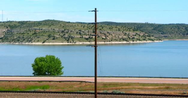
Glendo Reservoir as seen from I-25 about 25-miles south of Douglas, Wyoming
Glendo Reservoir is located on the North Platte River about 25-miles south of Douglas, Wyoming and 100-miles north of Cheyenne. The reservoir is formed by Glendo Dam 42°28'47?N 104°56'54?W? / 42.47972°N 104.94833°W / 42.47972; -104.94833. The earthfill dam is 2,096 feet feet long and 190 feet high and contains two hydroelectric plants capable of generating 38 megawatts of power. The reservoir retains a maximum of 800,000 acre feet of water used primarily for irrigation. The reservoir is popular for water sports and fishing. It is located completely within Glendo State Park which also has camping sites.
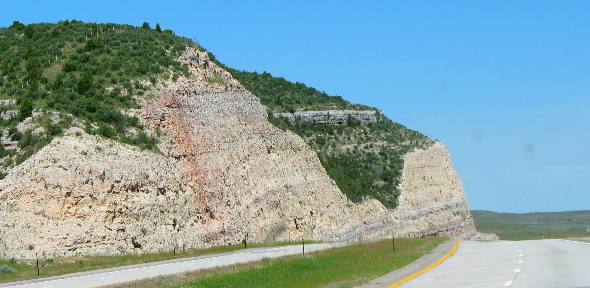
Awesome road cut around Glendo exposing millions of years of sedimentary rock layers
The sediments in this light colored sedimentary rock re from the Arikaree formation and are composed of tuffaceous claystone, sandstone and conglomerates bonded together with volcanic ash. Tuffaceous refers to volcanic ash deposits from distant volcanos. Westerly winds delivered the volcanic ash from volcanic eruptions in current day Nevada and Idaho. Typical scenery on I-25 between Glendo and Douglas, Wyoming
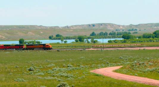
Coal train and Glendo Reservoir as seen from I-25
Coal train heading south past Glendo Reservoir about 26-miles south of Douglas, Wyoming.
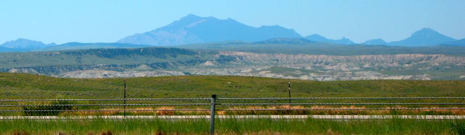
Typical Wyoming scenery seen between Glendo and Douglas on I-25 in Wyoming
Click here for more Wyoming travellogsUntil next time remember how good life is. More Wyoming AdventuresSome Utah Adventures ** More 2011 Travel Adventures
Mike & Joyce Hendrix
Mike & Joyce Hendrix who we are We hope you liked this page. If you do you might be interested in some of our other Travel Adventures: Mike & Joyce Hendrix's home page Travel Adventures by Year ** Travel Adventures by State ** Plants ** Marine-Boats ** Geology ** Exciting Drives ** Cute Signs ** RV Subjects ** Miscellaneous Subjects
We would love to hear from you......just put "info" in the place of "FAKE" in this address: FAKE@travellogs.us Until next time remember how good life is.
|
| ||
|
| |||
|
| |||
|
|