Canyon de Chelly National Monument May 17, 2007. We are camped in the free Cottonwood Campground at Canyon de Chelly National Monument, in northeastern Arizona.
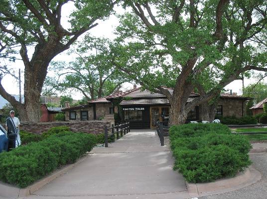
Thunderbird Motel & Restaurant complex next to Cottonwood Campground at Canyon de Chelly National Monument
This travelogue is going to cover our Navajo guided tour, $44 each, that begins at the Thunderbird Motel & Restaurant complex located next to Cottonwood Campground. We took the 3 1/2 hour tour that started at 2PM. Canyon de Chelly National Monument is also part of the Navajo Indian Reservation --- this is an odd arrangement worked out between the United States Government and the Navajo tribe. No one is allowed to enter the canyon without a Navajo guide. The only exception I know of is the ability to hike into the canyon from several places on the south rim. Even then one has to hike in then hike out by sunset. There is no exploring the canyon without a Navajo guide.
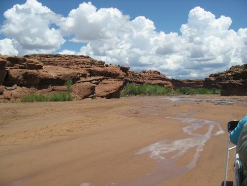
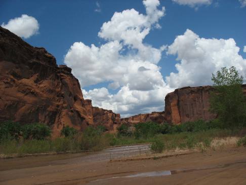
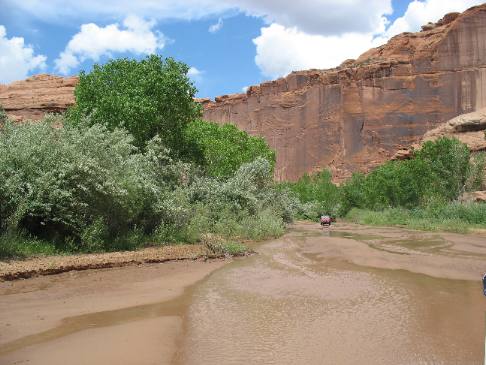
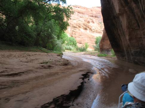
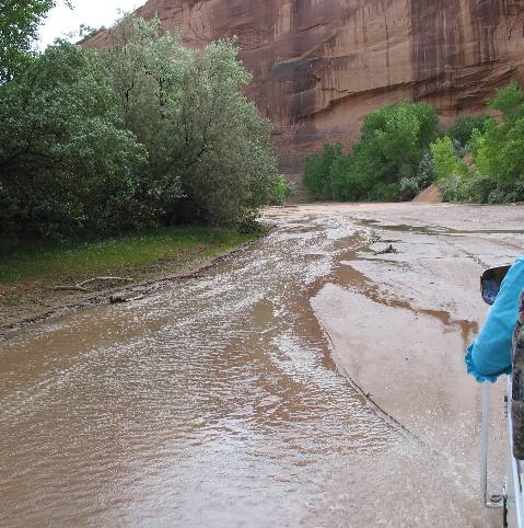
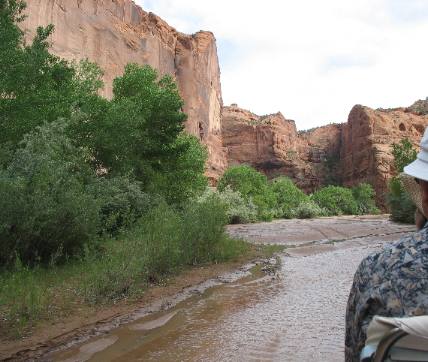
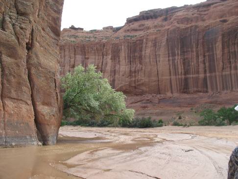
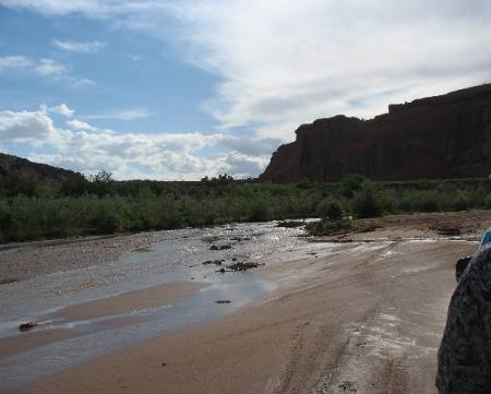
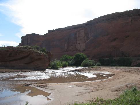
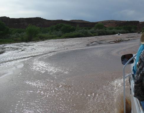
Within a few hundred yards of the Thunderbird Lodge we are entering the canyon. A river does not flow through the canyon only rain and snow run off. The canyon is a large arroyo that dries up during times of drought and late summer. The canyon had flowing water in it now. There is no "road" into the canyon, at least not a paved road. The Navajo's access their property in the canyon by driving in the arroyo, sometimes in the water sometimes not.
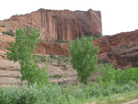
Canyon walls are ancient sandstone formed when this region was a desert much like the Sahara Desert is today.
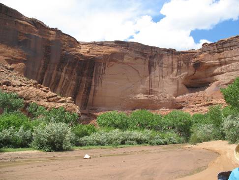
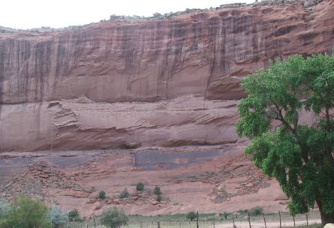
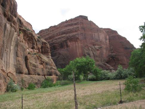
At the mouth of Canyon de Chelly the canyon walls are not very high. The canyon walls will get higher and higher the further we go into the canyon. Along here the canyon walls might be 100' high.
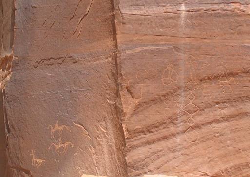
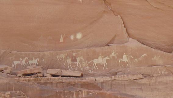
Our guide stops to let us look at ancient art on the canyon wall. There are ways to date when this art work was done. First you have men riding horses. That eliminates all the really ancient inhabitants of this canyon. Horses were introduced into this area by the Spanish so these had to be Hopi or Navajo drawings. It is possible that they could have been drawn prior to 1800 but most likely after 1800 in my opinion. Our guide told us they used horses to chase down the deer until the deer ran out of breath then one of the braves would jump off the horse onto the deer and sufficate it. That way the hide didn't have arrow or spear holes in it. I don't know if this is true, but it is what the guide told us.
The markings on this sandstone boulder caught our eye.
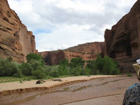
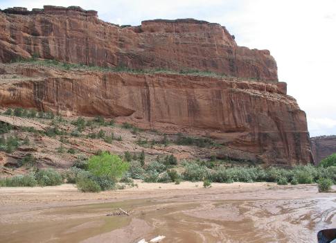
The canyon walls are getting taller as we continue our trek into the canyon, using the stream bed as our highway.
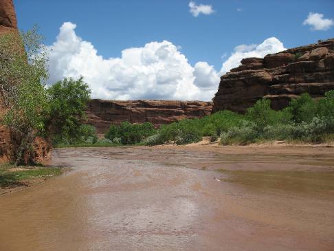
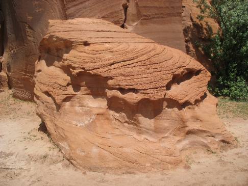
We came to a junction in the canyon with this large sandstone wedge dividing the canyon into halves. The dark surface on the sandstone is desert varnish. It is a mixture of manganese and iron oxide that creates a dark shiny surface on desert rocks.
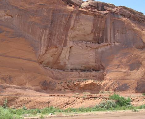
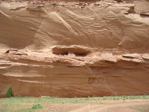
This is our first glimpse of one of the ancient cliff dwellings scattered throughout Canyon de Chelly.
This is a closeup of that same set of cliff dwellings. These are constructed of sandstone or possibly some type of adobe bricks. That would probably date these ruins to sometime after 700 AD.
More Anasazi ruins. Get used to them because there are a lot of them in Canyon de Chelly.
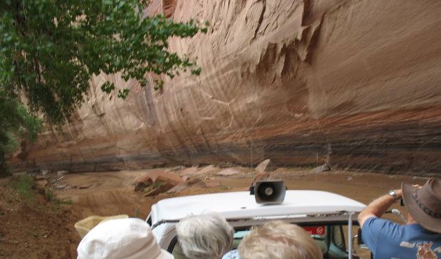
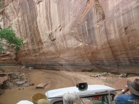
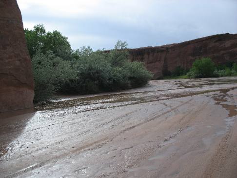
Sandstone cliffs are getting higher and higher. As you can see we are headed deeper into the canyon utilizing the stream bed as our highway.
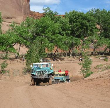
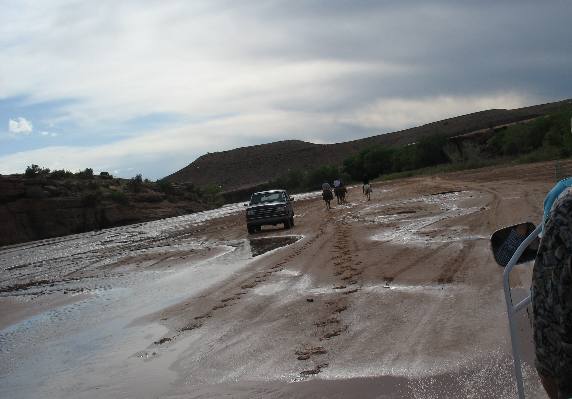
We are approaching another vehicle that is coming out of the canyon. Note that this vehicle is also using the streambed as the highway out of the canyon. The silvery colored trees on the left are Russian olive trees the invasive plant introduced into the canyon by the SCC. Efforts are now being made to eradicate both the Russian olive tree and tamarisk tree from the canyon.
This is another look at our highway through the canyon.
More ruins high on the canyon wall.
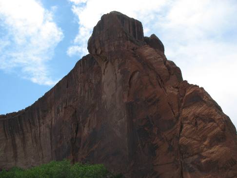
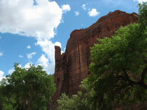
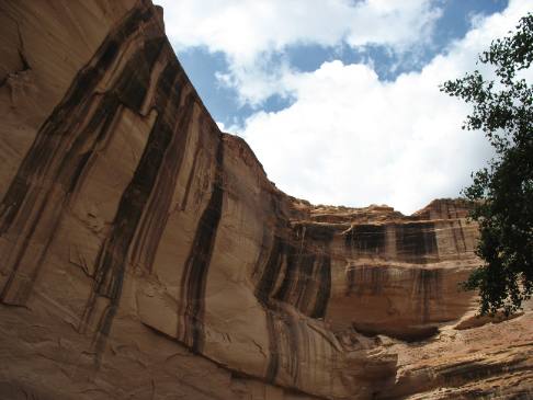
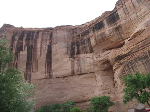
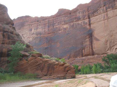
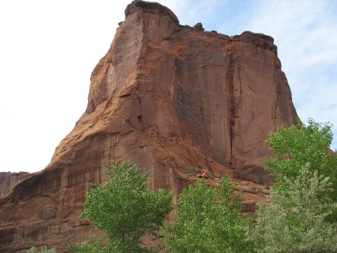
The sandstone walls continue to get taller and taller. This wall is 300-feet or more.
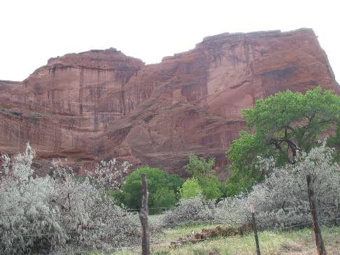
Impressive sandstone walls with desert varnish beginning to appear.
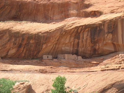
This is one of the larger ruins and remarkably this one is not high on a cliff. The use of sandstone and possibly adobe dates this ruin to sometime after 700 AD.
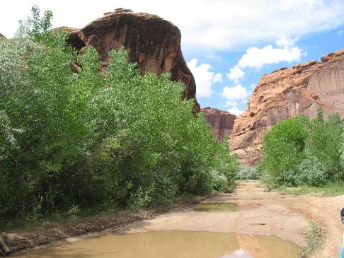
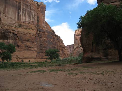
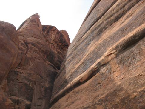
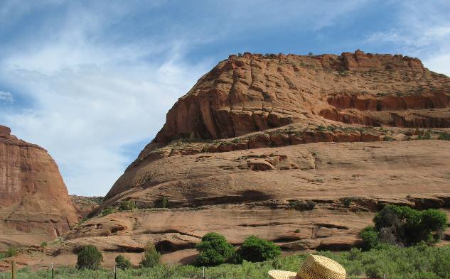
Sometimes the canyon gets narrow other times it is possibly a mile across.
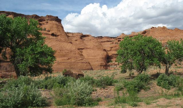
Navajo families maintain summer homes down in the canyon and use this as pasture for livestock. Some of the Navijo families that maintain summer homes down here farm, some have orchards, while others utilize their land for livestock pasture.
More artwork on the canyon wall. This has to be done by early Navajo since they are riding horses that were introduced by the Spanish. My guess is sometime in the 1800's.
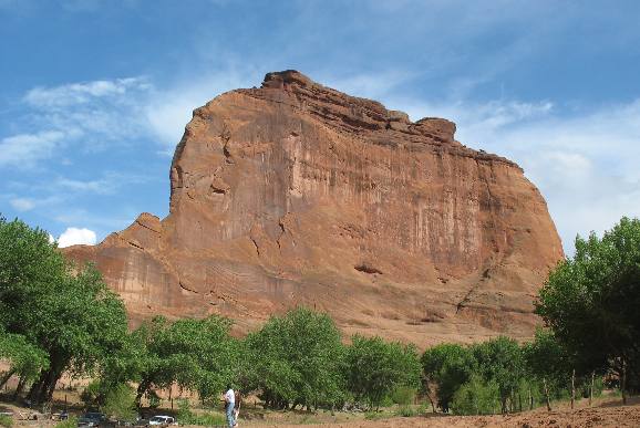
This canyon wall might be 400-feet tall.
The bulge in this sandstone is a layer of sediment that is harder than the sediments above and below it. The additional hardness of this layer may be attributed to the bonding agent holding the pieces of sand together. In this case it may have been a dusting of volcanic ash. When the volcanic ash was disolved in water then released when the water evaportated it might have become the bonding agent holding these grains of sand together better than the other layers.
Note the road, such as it is, passing next to the cliff. The silvery looking trees are Russian Olive trees, the invasive plant introduced by the SCC.
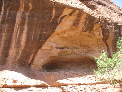
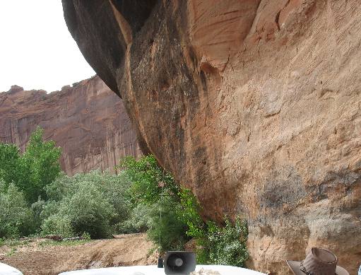
This portion of the ride was under the overhang of a magnificent sandstone cliff.
Still under the overhang of that sandstone cliff.
We are about to emerge from under that overhanging cliff. The ride in that stream under the overhanging cliff was exciting.
It looks like this Navajo family is a bit late getting the garden planted wouldn't you say.
This is a good example of desert varnish (the dark shiny surface on that sandstone is a mixture of manganese and iron oxide).
Again the tree with silver leaves is Russian olive.
The taller dark green trees are small cottonwoods.
The dark cap rock has a lot of iron in it. One of the ax heads in a previous travelogue was formed from this rock.
More Russian olive trees.
The scenery is constantly changing. Sometimes the cliff walls are almost straight up while at other times there are multiple layers some like this one with vegetation marking the boundary of a layer. Note the cap rock of that contains a lot of iron.
The caprock containing iron is visible here as well.
Geologist closely examine these layers of sandstone and are able to determine what kind of conditions existed when they were formed. The sandstone in the bottom half was formed from huge sand dunes during a time when conditions were very dry. The sand in this sandstone is uniform in size. Occasionally you will see layers that are different. They may have been created during a wet period or they may be the rusult of volcanic ash being introduced. Some of the rock in the upper levels is more of a conglomerate containing small river rock. Of course this indicates a much wetter climate.
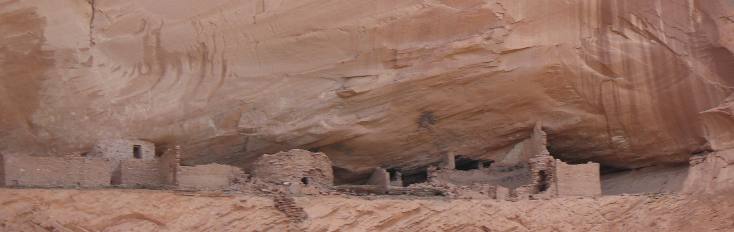
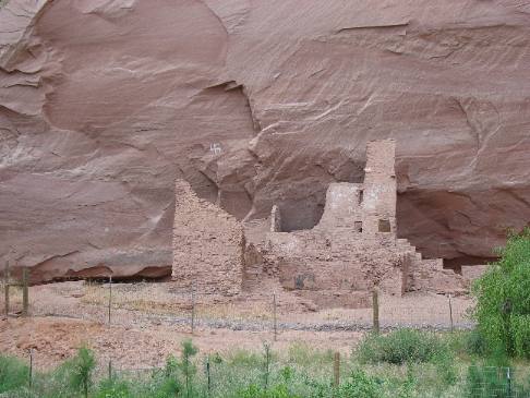
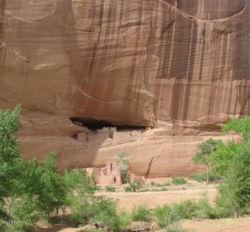
This is the "White House" ruins named for the center building that must have been constructed out of white adobe bricks.
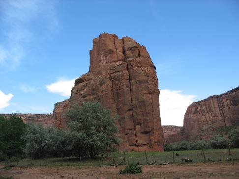
This is a fin shaped rock in the middle of the canyon. The trees are cottonwood.
These large vehicles belong to a local work crew that were doing work on "roads" deeper in the canyon or so said our guide. It did not appear to me that any work had been done on any "road" road that I saw. The trees are cottonwood.
As we are driving out of the canyon we are also heading west and looking into the afternoon sun.
Things look totally different depending on how the sun is striking the surface.
Note that the canyon walls are getting smaller and smaller as we head out of the canyon. There is a vehicle headed our way. It was a Navajo headed home in his truck.
More Russian olive trees and the canyon walls are smaller yet.
Near the mouth of the canyon traffic is picking up. This is a group of tourist who have chosed to ride horses into the canyon.
I can't think of a better ending to a wonderful day.
Until next time remember how good life is. More Arizona AdventuresPlants Trees and Flowers ** More 2007 Travel Adventures
Mike & Joyce Hendrix
Mike & Joyce Hendrix who we are We hope you liked this page. If you do you might be interested in some of our other Travel Adventures: Mike & Joyce Hendrix's home page Travel Adventures by Year ** Travel Adventures by State ** Plants ** Marine-Boats ** Geology ** Exciting Drives ** Cute Signs ** RV Subjects ** Miscellaneous Subjects
We would love to hear from you......just put "info" in the place of "FAKE" in this address: FAKE@travellogs.us Until next time remember how good life is.
|
| ||
|
| |||
|
| |||
|
|